Satilla River Fishing Guide: Best Spots, Species, Access & Tips
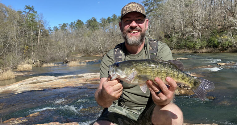
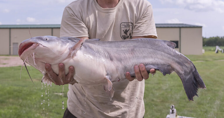
Georgia’s Satilla River is one of the state’s most underrated fishing destinations. Flowing through southeast Georgia’s coastal plain, this blackwater river offers excellent opportunities for anglers chasing redbreast sunfish, largemouth bass, channel catfish, and crappie — often without the crowds found on more popular rivers.
Whether you’re fishing from the bank, paddling a kayak, or running a small jon boat, this guide covers where to fish, what to catch, and how to fish the Satilla River successfully.
Satilla River Fishing at a Glance
Boat Type: Kayak, canoe, jon boat recommended
River Type: Blackwater, slow-moving
Best Fish Species: Redbreast sunfish, largemouth bass, channel catfish, black crappie
Best Time to Fish: Spring through early summer
Best Water Level: Around 5 feet at Waycross
Fishing Access: Multiple public boat ramps and bank-fishing areas
About the Satilla River
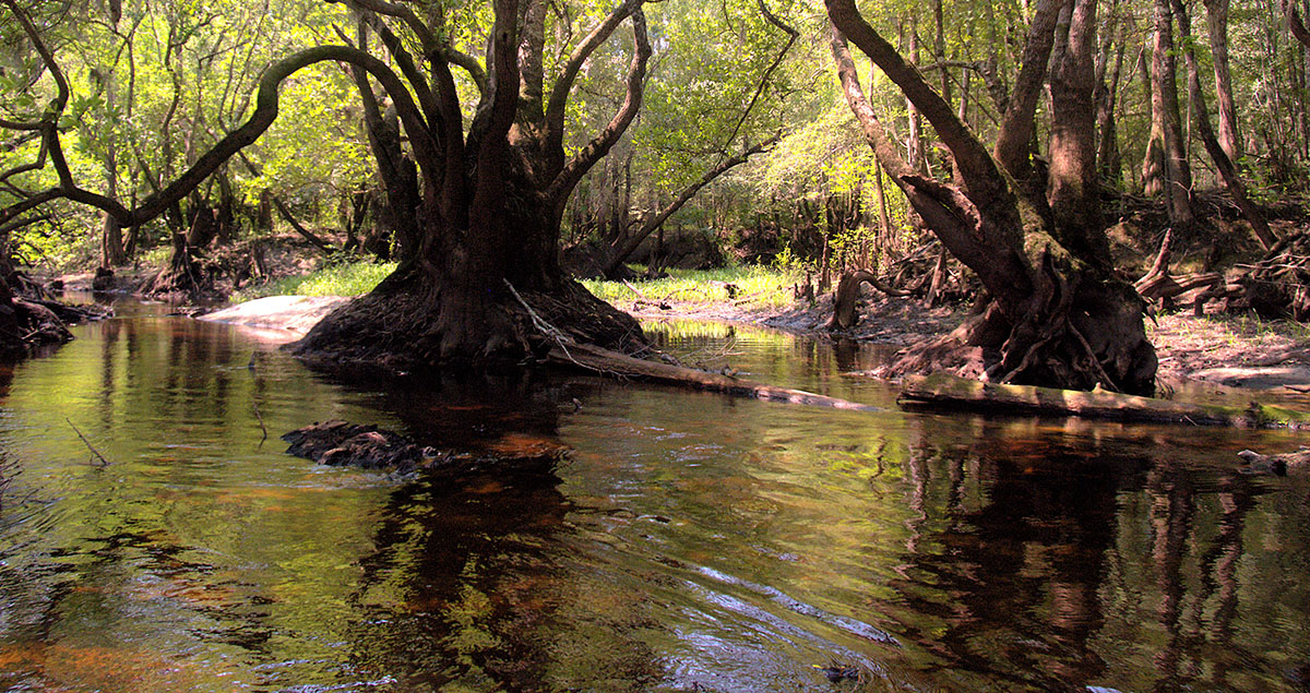
The Satilla River stretches roughly 260 miles, flowing from Ben Hill County to the Atlantic Ocean. Its dark, tannin-stained waters are bordered by cypress trees, Spanish moss, and dense bottomland hardwoods — classic south Georgia scenery.
That blackwater environment creates ideal conditions for insects, crustaceans, and small forage fish, which is why the Satilla supports such strong populations of panfish and river bass. It’s a river that rewards anglers who enjoy reading current seams, fishing structure, and adjusting to changing water levels.
Current Satilla River Water Levels
Water levels play an important role in fishing and navigating the Satilla River. During periods of low water, exposed sandbars, fallen trees, and shallow stretches can make boating difficult. Higher water can open up additional areas but may also bring stronger currents and floating debris.
The live gauge below displays the latest available water-level reading from the U.S. Geological Survey (USGS) monitoring station near Waycross, Georgia. This reading is especially useful when planning a fishing trip along the upper Satilla River.
Satilla River Water Level
Gauge height is measured relative to this station’s reference point. It does not indicate water depth along the entire river.
View 7-day chart and official USGS dataWhat Does the Water Level Mean for Fishing?
The gauge measures the river’s height in feet relative to a fixed reference point at the monitoring station. It does not represent the actual water depth throughout the river.
Water conditions can vary considerably along the Satilla, particularly between the upper river near Waycross and the lower, tidal stretches closer to the coast.
Before launching a boat, check the current reading, recent water-level trends, and local conditions. River levels can change following heavy rainfall, and a launch that was accessible on a previous trip may be difficult to use during low water.
Best Public Access Points
The Satilla River offers numerous public access points for anglers fishing from boats, kayaks, and the shoreline. The interactive map below highlights 12 access locations identified in Georgia DNR data, including boat ramps, bank-fishing opportunities, and available facilities. Select a location to view details and get directions.
Satilla River Public Fishing Access Map
Explore 12 access locations listed in Georgia DNR data. Select a filter, click a marker for details, or use the list below to get directions.
Source: supplied Georgia DNR water access dataset. A bank-fishing designation reflects the dataset, not a guarantee of shoreline conditions. *Boat access only means bank fishing is not listed. Two sites have an unknown operating status. Check access conditions, private property boundaries, and river levels before traveling. Map © OpenStreetMap contributors.
Planning Your Trip: Water levels can significantly affect navigation and boat-launch conditions on the Satilla River. Check current river levels and verify access conditions before heading out, particularly during periods of low water.
Popular Fish Species
Before You Go: Planning Your Satilla River Fishing Trip
Whether you’re chasing redbreast sunfish or exploring a new stretch of the Satilla River, a little preparation can make the difference between a great day on the water and a frustrating one.
Before heading out, check the live river levels and public fishing access map above. Water levels can change significantly following heavy rainfall or extended dry periods, affecting fishing conditions, boat navigation, and access to certain stretches of the river.
Be sure to review the current Georgia fishing regulations, including license requirements, daily creel limits, and size restrictions. Anglers fishing the lower, tidal portions of the Satilla should also check for any additional regulations that may apply.
Finally, remember that the Satilla is a beautiful but sometimes challenging blackwater river. Submerged logs, shifting sandbars, and changing water conditions are all part of the experience. Take your time, respect private property along the river, and leave access areas cleaner than you found them.
With a little planning, the Satilla offers some of the most enjoyable freshwater fishing opportunities in South Georgia.
Note: This Satilla River fishing guide is updated regularly to reflect current access points, fishing conditions, and regulations.